
LiDar Annotation
LiDAR (Light Detection and Ranging) annotation involves the process of labeling and annotating LiDAR data to extract valuable information from 3D point clouds captured by LiDAR sensors. LiDAR technology uses laser pulses to measure distances and create detailed 3D representations of objects and environments.
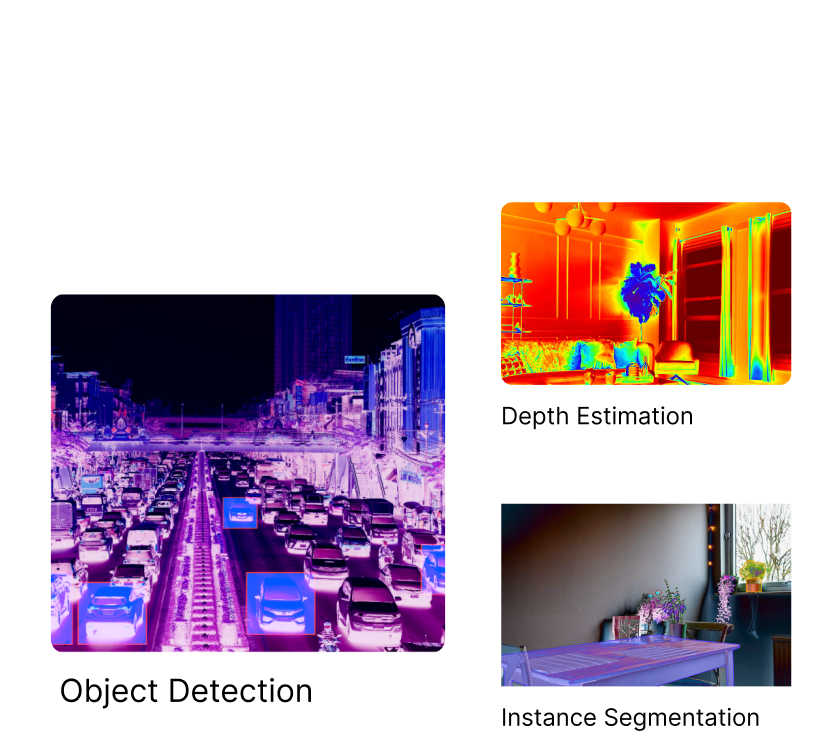
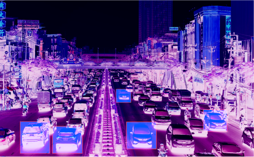
Object Detection
Annotating objects of interest within the LiDAR point clouds, such as cars, pedestrians, buildings, or vegetation. This involves marking the bounding boxes or polygons around the objects and assigning corresponding class labels.
Use Cases
- Monitoring and managing traffic flow.
- Utilized in wildlife conservation efforts.
- Enables retail analytics by tracking customer movements, interactions, and behaviors within a store
- Employed in analyzing and moderating content on social media platforms.
- Utilized waste management systems to automatically sort and categorize recyclable materials.
- Assists in monitoring construction sites for safety compliance, identifying potential hazards, and tracking the progress of projects.
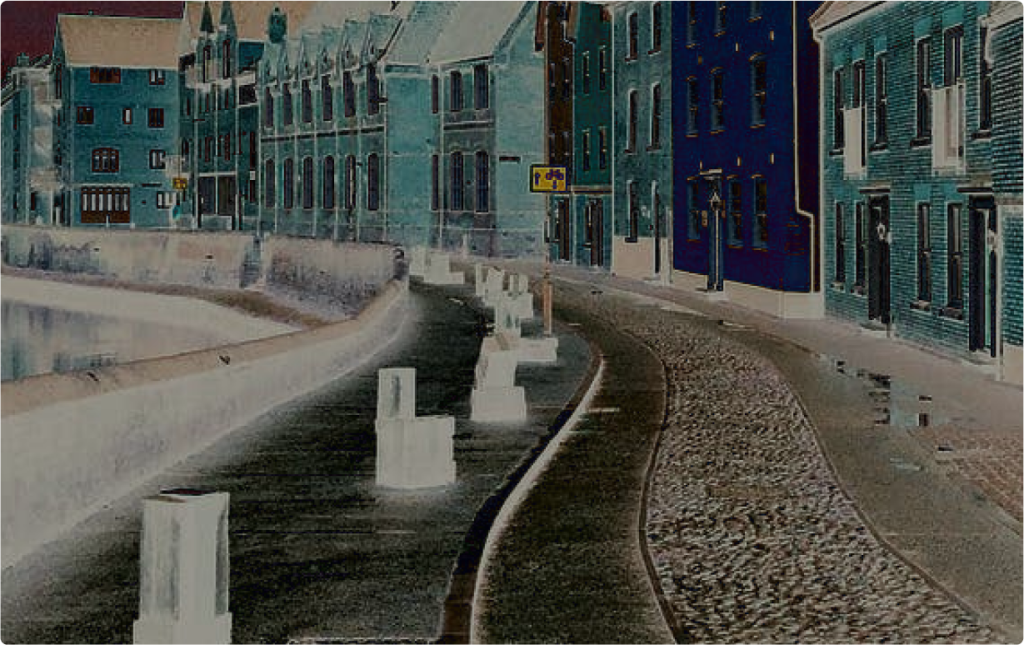
Semantic Segmentation
Labeling individual points within the LiDAR data with semantic information, such as ground, road, buildings, trees, or other objects. This helps differentiate between different types of surfaces or objects in the environment.
Use Cases
- Autonomous vehicles to understand the surrounding environment.
- medical imaging for organ and tumor segmentation, tissue classification, and lesion detection
- Aids in object recognition and tracking by providing precise boundaries around objects of interest.
- Enables advanced image and video editing capabilities.
- Creates realistic and immersive AR experiences.
- Aids in scene understanding for VR applications.
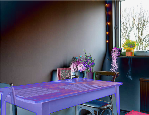
Instance Segmentation
Annotating individual instances of objects within the LiDAR point clouds, allowing for precise identification and separation of multiple objects of the same class. This involves segmenting each object instance and assigning unique identifiers.
Use Cases
- Crucial for autonomous vehicles to perceive and understand their environment.
- Employed in robotics for object recognition and manipulation.
- Plays a role in fashion and retail applications
- Applied in medical imaging for accurate segmentation and identification of specific structures or abnormalities within images or scans.
- Sports analytics track and analyze individual players and their movements within a game.
- Employed in industrial settings for inspection and quality control tasks.within a store
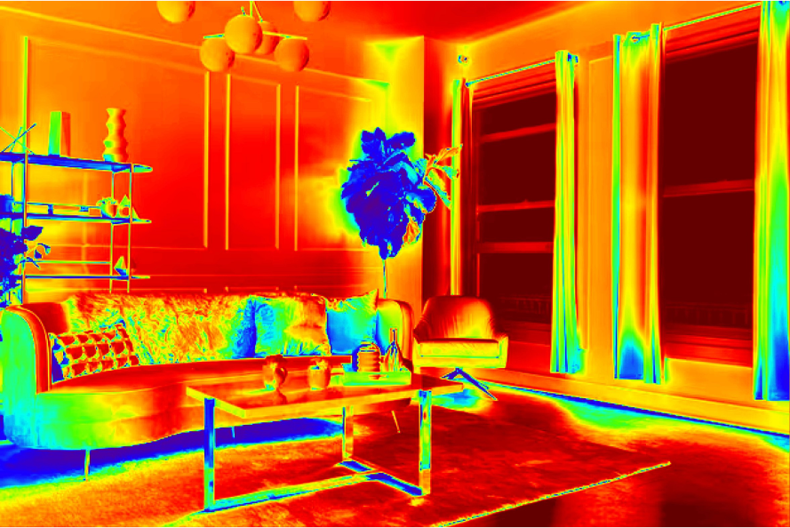
Depth Estimation
Annotating the distance or depth information for each point in the LiDAR data. This helps in understanding the 3D spatial layout and provides depth cues for scene understanding.
Use Cases
- Autonomous vehicles to understand the surrounding environment.
- Utilized AR applications to align virtual objects with the real-world environment accurately.
- Enables robots to perceive and interact with objects in their environment accurately.
- Applied in 3D reconstruction and mapping applications.
- Utilized in photography and image editing applications.
- Utilized virtual try-on applications for accurate fitting of virtual clothing on a user's body.
- Plays a role in gaming and virtual simulation by enhancing the realism and interaction capabilities.
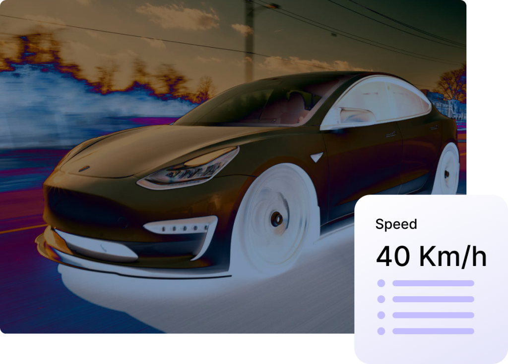
Motion Estimation
Labeling the dynamic objects in LiDAR data, such as moving vehicles or pedestrians, and annotating their motion trajectories or velocities. This is important for applications like autonomous driving or tracking moving objects.
Use Cases
- Video surveillance systems
- Autonomous vehicles to understand the movement of objects in their surroundings.
- Contributes to action recognition tasks in video analysis.
- Video compression techniques such as MPEG.
- Assists in sports analytics by analyzing player movements and interactions.
- Employed in object tracking applications.
Ready to Get Started ? We Are
We’d love the opportunity to answer your questions or learn more about your project. Let us know how can we help